
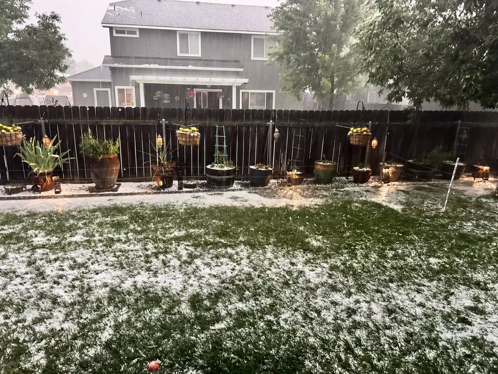
Idaho Weather Alert: Heavy Rain, Strong Winds and Flash Flood Threat
If you’ve been enjoying our relatively mild October weather, get ready. Mother Nature is about to remind us that fall in Idaho can change in a hurry!
A powerful weather system moving into southwestern Idaho today (Thursday, October 22), will bring widespread rain, thunderstorms, strong winds, and a dramatic temperature drop heading into Friday.
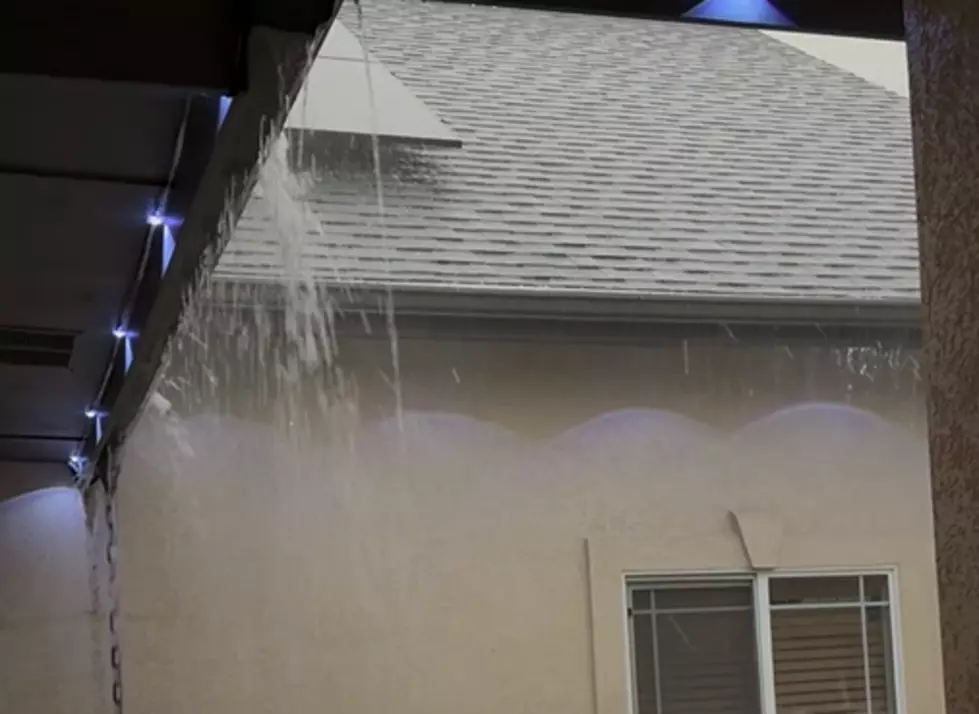
According to the National Weather Service in Boise, some thunderstorms could produce wind gusts reaching 60 mph, along with heavy downpours and small hail.
And if you’re planning to head into the mountains, there’s an additional concern.
Flash Flood Watch Issued for Parts of Idaho
The National Weather Service has issued a Flash Flood Watch for the Crooked and Wapiti wildfire burn scars, effective Thursday evening through Friday morning.

Forecasters say as much as 1.25 inches of rain could fall in these areas, potentially triggering dangerous flash flooding and debris flows.
Areas of concern include locations near Grandjean and the Barber Flat Guard Station.
Recently burned areas are particularly vulnerable because vegetation that normally helps absorb rainfall and stabilize the soil has been damaged or destroyed.
READ MORE: Boise Weekend Events October 21–25: Halloween Fun & More
Boise Temperatures Could Drop 20 Degrees Overnight
Here in the Treasure Valley, Thursday’s temperatures could reach the mid-70s before falling dramatically.
By Friday, Boise’s high is expected to be only around 55 degrees, with rain and gusty winds making it feel even colder.
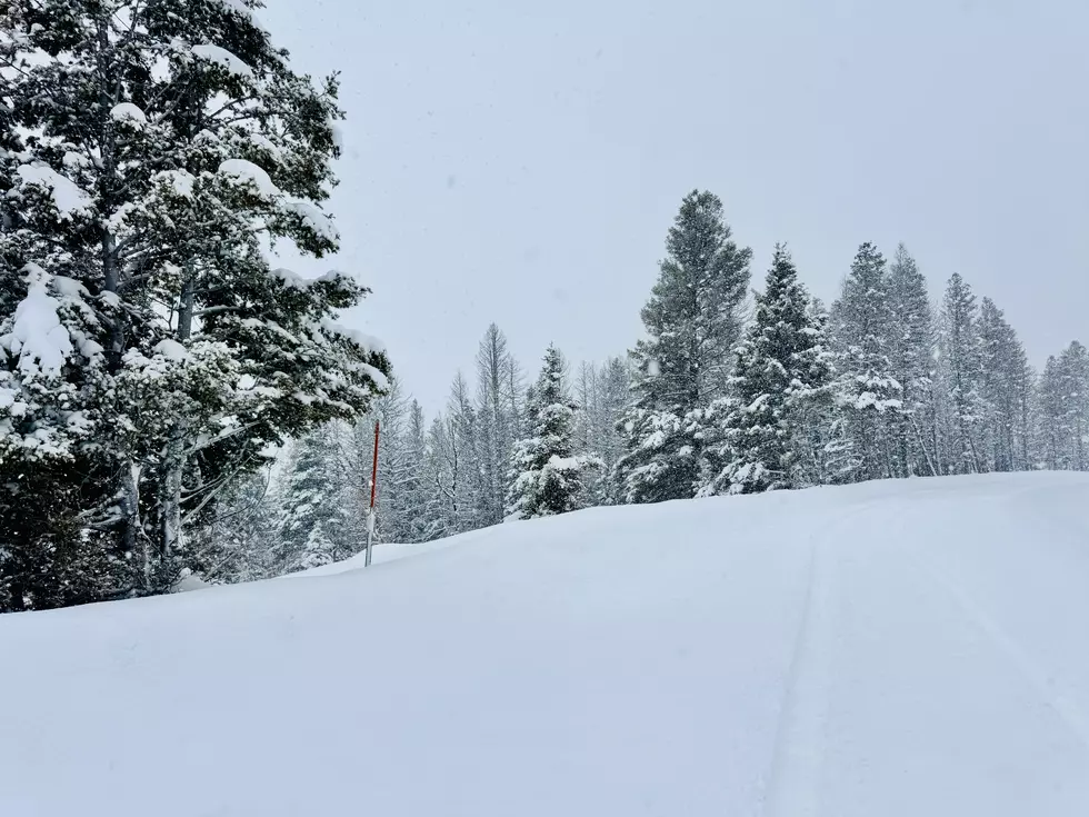
Higher elevations could also see accumulating snow as the storm moves through.
What Treasure Valley Residents Should Do Now
Before the worst of the weather arrives, there are a few simple precautions worth taking.
Secure outdoor decorations and furniture. Those Halloween decorations, especially inflatables and lightweight displays, could take a beating in strong winds.

Clear leaves from storm drains. Falling leaves can clog drainage areas and contribute to localized flooding.
READ MORE: What El Niño Could Mean for Idaho’s Winter in 2026-27
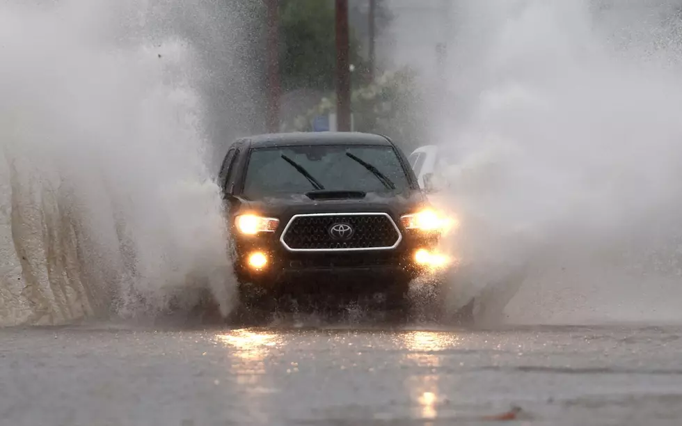
Watch for standing water. Never attempt to drive through flooded roadways.
Prepare for possible power outages. Charge your phones and secure anything that could become airborne.
Use extra caution in the mountains. Avoid washes, drainage channels, and areas below recent wildfire burn scars during heavy rain.
The good news? Conditions should improve heading into Saturday, with sunshine returning to the Treasure Valley over the weekend.
In the meantime, keep an eye on changing conditions and check the National Weather Service for the latest watches, warnings, and advisories. After all, it’s Idaho... sometimes we get all four seasons in the same week!
10 Things to Have at Home Before the First Big Winter Storm
Gallery Credit: Scott Haugen
Winter Storm Names For 2026 / 2027
More From 107.9 LITE FM