Boise Is Now Under a Frigid, Never Before Used Winter Weather Advisory
❄️ Boise picked up an additional 4.9 inches of snow during last week's storm
❄️ No new snow is in the forecast until Thursday, but Boise is under a new type of weather advisory
❄️ The National Weather Service updated their terminology in October 2024
Whoever made Elsa mad, can you please apologize? We’re less than 20 days away from the start of meteorological spring, but the Boise area didn’t really experience its first significant taste of winter until early February!
KEEP READING: Boise's Most Extreme Winter Weather Records
Winter Storm Snowfall Totals: Week of February 3
You chuckled as you watched your kids wear their PJs inside out, sleep with spoons under their pillow and flush ice cubes down the toilet last Thursday. Pretty much every forecaster in the Treasure Valley forecasted a winter storm hitting late in the evening Thursday night and lingering into Friday morning. What they couldn’t agree on was how much snow we were going to get. Some models suggested barely half an inch. Others said that up to four inches were possible in some areas.

Depending on which forecast you watched before falling asleep, you may have been stunned by the amount of white stuff that piled up. When all was said and done, the Boise area saw 4.9 inches of snow during that most recent winter storm. That was enough to cancel class at almost every school in the area.
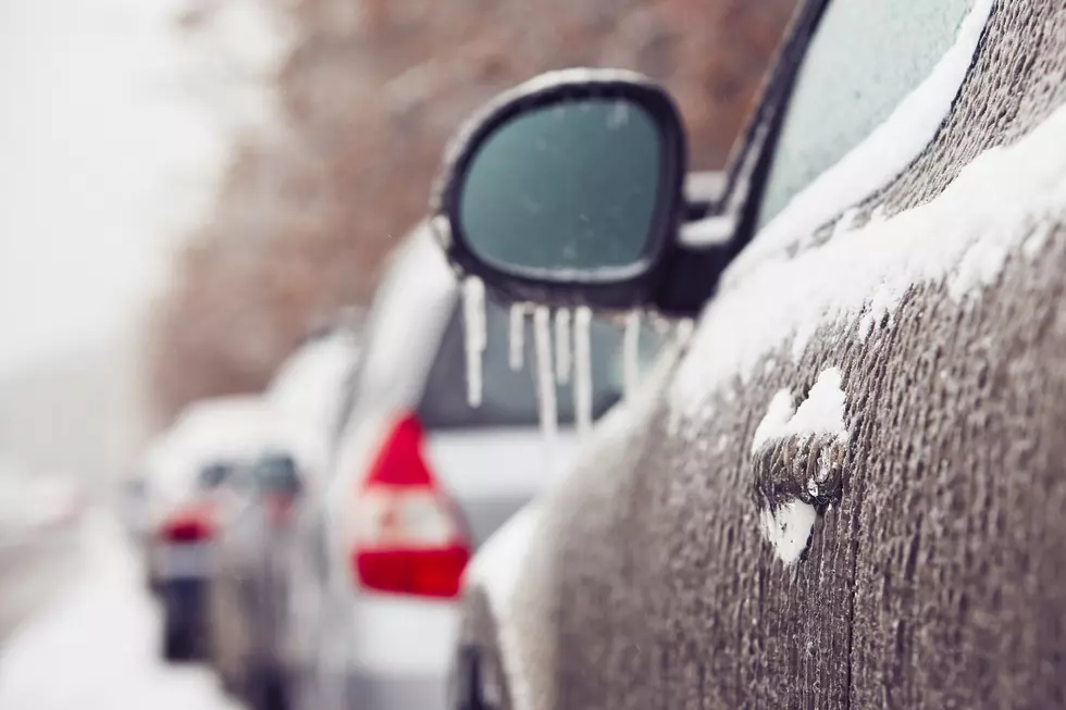
Boise has now recorded 9.9 inches of snow, which is still significantly behind our normal 17.6 inches. There’s no new snow in the forecast until Thursday, but that hasn’t stopped the National Weather Service from issuing a first of its kind weather advisory for the Boise area.
What is the New Weather Advisory That’s Been Issued for the Boise Area?

If you thought Monday morning was chilly, get ready for a blast of even colder air. We’re about to see several days of single digit low temperatures for the first time this season. At this point, seasoned Boise residents would expect the National Weather Service to issue a wind chill advisory to give the public a heads up that spending time outside probably isn’t a good idea. They won’t be doing that this time around.
In fact, the National Weather Service no longer uses the terms “wind chill advisory” or “wind chill warning.” Instead, they’ve changed the term "Wind Chill Advisory" to “Cold Weather Advisory” and consolidated the term “Wind Chill Warning” into “Extreme Cold Warning.”
The new "Cold Weather Advisory" is in effect thru 10 a.m. on Thursday. Boise, Nampa, Caldwell, Ontario and Mountain Home are all listed in the advisory. Because of proximity, Meridian, Eagle and other nearby areas should take caution as well. It's the first time since the terminology change this advisory has been used for our area.
Why Did the National Weather Service Get Rid of Wind Chill Advisories?

The agency wanted to simplify their winter weather forecasts, allowing people to prepare for dangerously cold temperatures with or without high winds. That’s why they’ve started using these new terms.
Cold Weather Advisory
Issued when air temperatures or wind chills will be seasonably cold, but not extreme. It’s still recommended that you properly cover exposed skin during this advisory.
Extreme Cold Watch
With or without wind, temperatures have now become dangerously cold. The NWS recommends changing up your plans so that you’re not outside during the coldest part of the day and covering exposed skin. They also suggest making sure your car has at least half a tank of gas in these conditions.
Extreme Cold Warning
When an Extreme Cold Warning is in place, you’re at risk of frostbite or hypothermia by being outside. If you can’t avoid being outside, you absolutely should dress in layers and avoid any exposed skin.
KEEP READING: 10 Extreme Winter Weather Records Set in Boise
Gallery Credit: Michelle Heart
More From 107.9 LITE FM