How Boise River Flooding Affects You
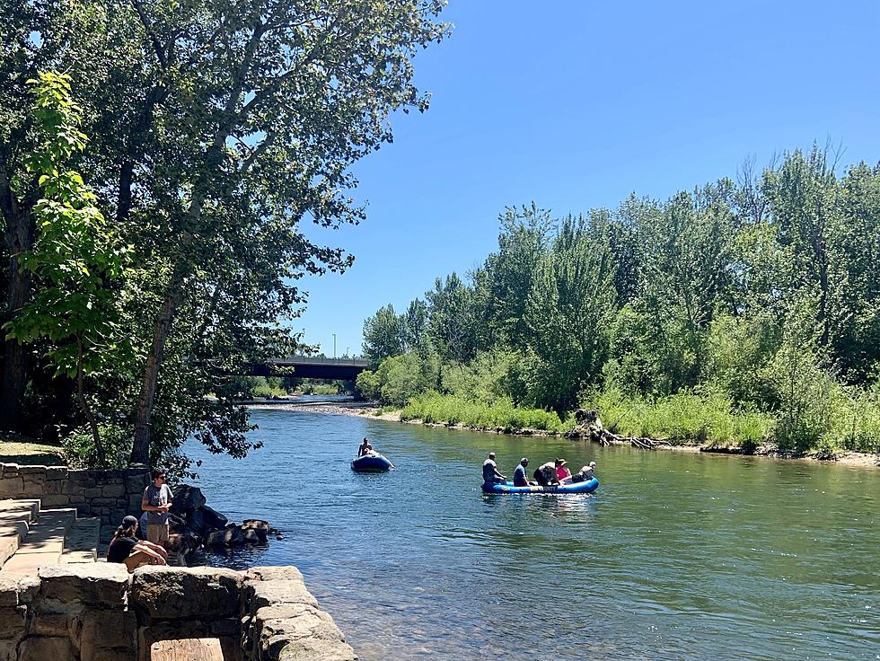
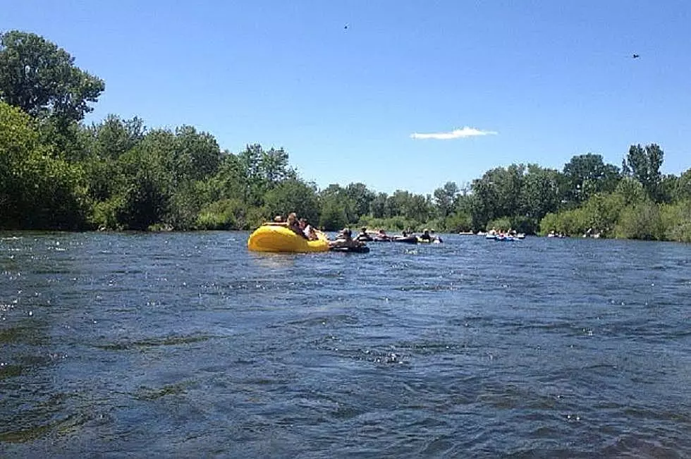
With warmer weather comes the annual spring melt and runoff from the mountains into Lucky Peak and the Boise River. Almost every year we see some sort of minor flooding and every once in a while that flooding can be more serious and that could be the case this year. These maps might help you out in case that happens.
It’s been a few years since we’ve seen any serious flooding here in Boise, but with a lot of snow in the Mountains this year all it takes is a few weeks of really warm weather really fast and we could once again see above averages of water having to be released from Lucky Peak and once again see areas flooded in the Treasure Valley. The Boise River is already 1000cfs above flood stage.
I’ve seen historical pictures from late 1800s and early 1900s years ago in the Eagle area showing the Boise River running about a half mile wide in some places with the approximate flow at 70 to 80 thousand cubic feet per second. Keep in mind flood stage now is around 7000cfs.
The National Weather service has maps to show people how various stages of flooding would affect people in the Boise area.
The interactive maps show the impact from The Diversion Dam all the way to the Can-Ada line. It provides an in depth view of what flooding would look like at 15 different stages of flooding of the Boise River
The maps are not meant to cause panic or to scare anybody, but the National Weather Service said that it’s important for people to know ahead of time what flooding might look like and how it would affect them in the eventual case of major flooding.
It’s also a valuable tool to view in case you might be wanting to purchase a house in a potential flood area. Flood insurance might be a good idea for some people.
If you want to take a view of the latest flood maps from the National Weather Service click on the link below
More From 107.9 LITE FM